

Level Every Inch, Save Every Drop
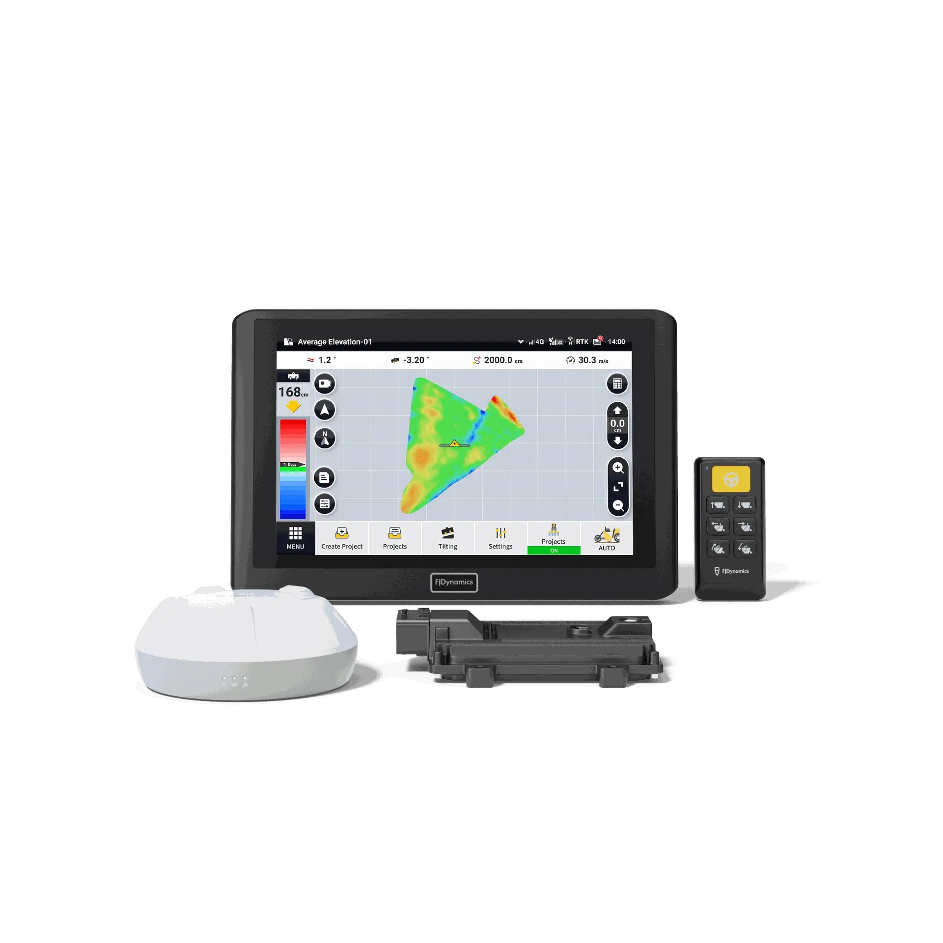
AL02 is FJDynamics' next-generation land leveling system, supporting terrain surveying and minimal earth-moving designs for level or sloped surfaces. With high-precision GNSS positioning and advanced algorithms, it enables automatic blade control, ensuring precise and stable leveling operations.
Powerful yet easy to use, the AL02 is suitable for both everyday farmers and experienced water management contractors. Our innovative agricultural water management solution aims to boost farmers' efficiency while laying a solid foundation for crop growth, conserving water, preventing soil erosion, and reducing the costs of pesticides and fertilizers.
Powerful yet easy to use, the AL02 is suitable for both everyday farmers and experienced water management contractors. Our innovative agricultural water management solution aims to boost farmers' efficiency while laying a solid foundation for crop growth, conserving water, preventing soil erosion, and reducing the costs of pesticides and fertilizers.


圃場の均平化で収量を最大化
FJD AL02は、最先端のGNSSおよびRTK技術を活用されたAL02は目標標高、水流、傾斜、切盛比を微調整することで、灌漑効率や土壌品質を向上させることができます。これによって、水・肥料の節約にもつながります。またAL02は均平、勾配、または二面勾配の設計オプションを提供し、整地と排水管理に最適なカスタマイズされたソリューションを提供します。さらに牽引式と直装式両方対応できるため、多種類のレベラーに適合します。
GNSS搭載のレベラーシステム
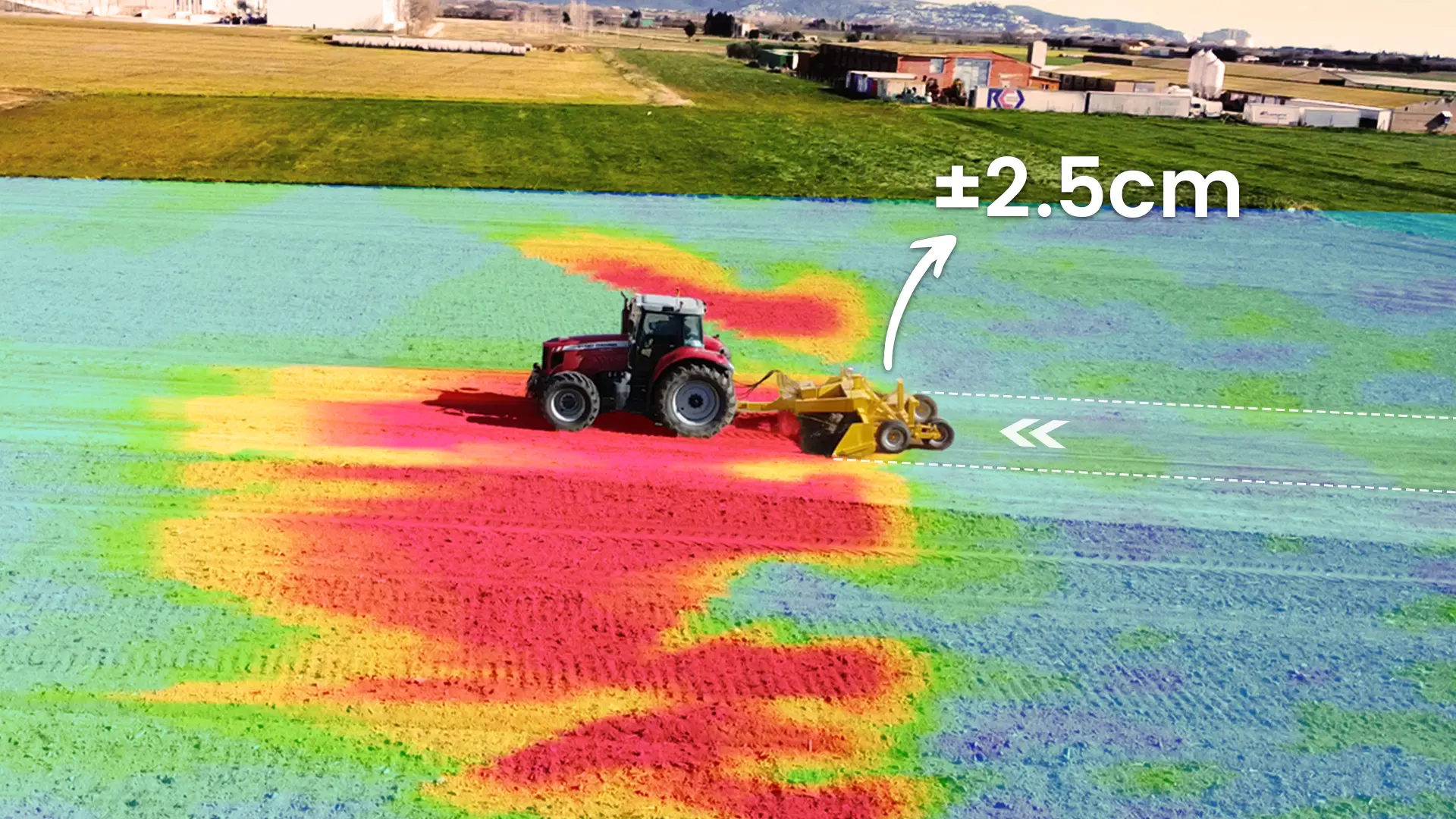
従来のレーザーレベラーは天候や地形の影響を受けやすく、取り付けが難しい課題に対し、GNSSおよびRTK技術を搭載したAL02レベラーシステムは、上空および近辺に障害物が無い環境では24時間稼働が可能で、山岳地帯での作業にも対応できます。また移動基地局(別売り)を使用する場合、半径3kmの範囲内に最大±2.5cmの精密なレベリング作業を可能にします。究極な精度を追求しない場合、Ntrip信号を利用し、すぐ均平作業開始できます。またGPS、GLONASS、BDS、Galileo、SBAS等複数のGNSS信号をサポートし、測位速度も速く、安定性も抜群です。
簡単に均平作業ができる
地形調査
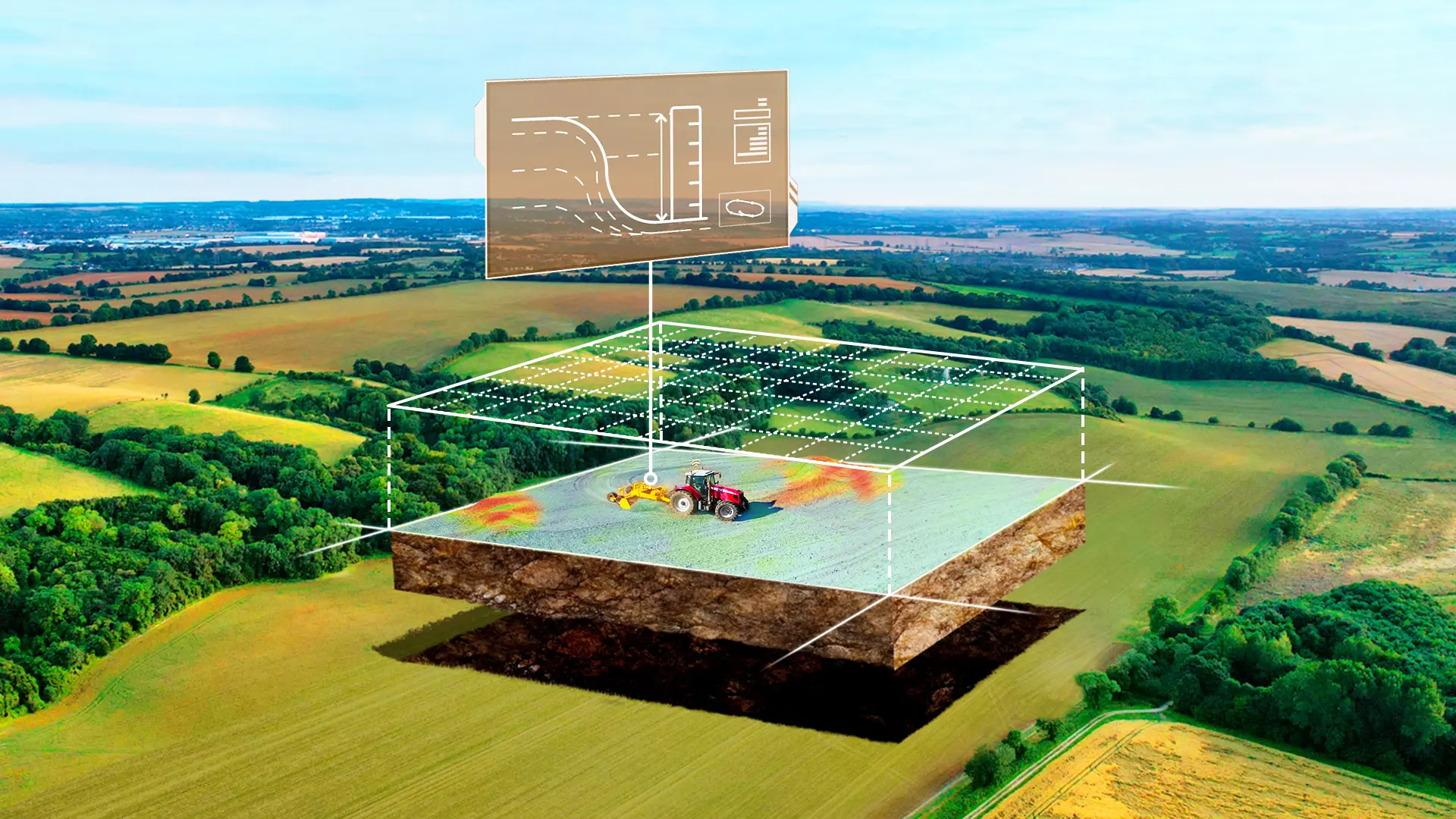
AL02を搭載されたトラクターを圃場内に一回運転するだけで、境界計画と内部ポイント採取によって標高データを収集できます。これにより、お客様は圃場の情報をデジタル化して一目で把握できるようになります。最適な作業効率を達成し、作業量を削減します。
地形設計
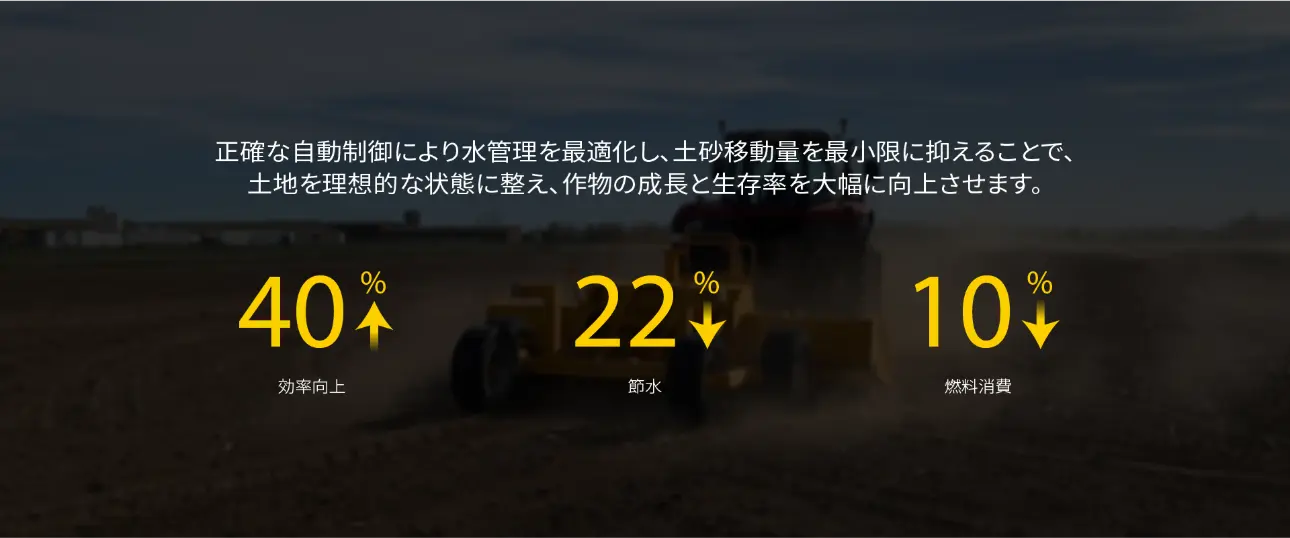
地形調査から収集された標高データを利用し、独自のアルゴリズムで、3D体積モデルを生成して最小限の土工移動量を計算し、高低マップを生成します。これにより、作業量を最小限に抑え、10%のほどの燃料量を節約できます。また地形設計に対し、別途のシステムを購入する必要もないです。コストも下げられます。
さまざまな設計オプション
お客様の様々な使用習慣に合わせ、均平、片勾配、二面勾配などの設計オプションを提供し、実際の地形に基づいて最も適切な整地計画を選択できます。

記録の保存
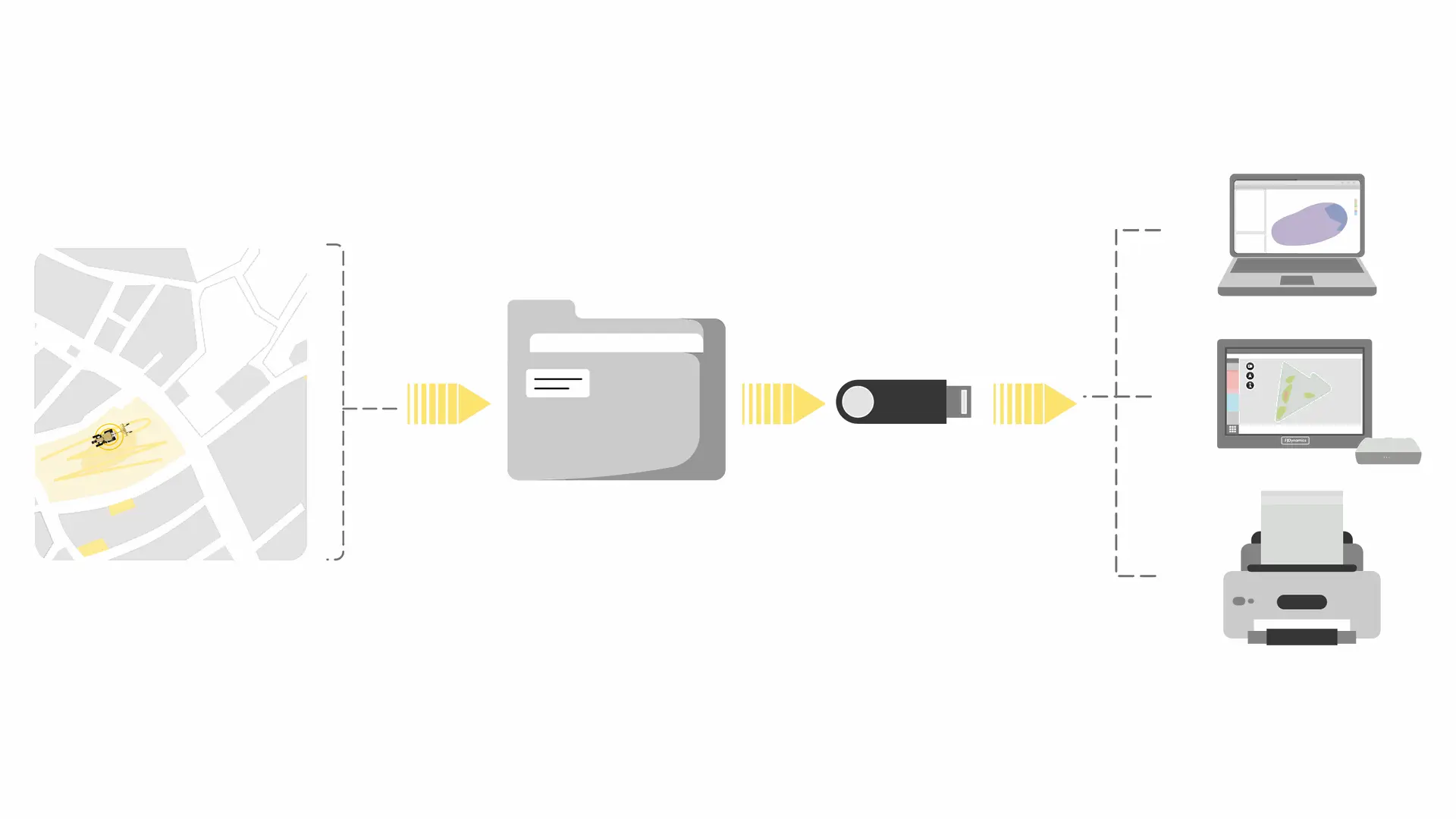
完了した地面均平プロジェクトは自動的にプロジェクト管理に保存され、いつでも履歴の確認や修正が可能です。また、そのデータをPCにも保存できます。次回の均平作業をする際に、クイックモードの下にある目標標高、高低マップの作業履歴(標準プロジェクトの場合:目標標高、高低マップ、元の収集データと作業後データの比較)を出して、すぐ作業を始まり、二度と地形調査する必要がなくなりました。さらに、印刷用のPDF形式でプロジェクトレポートを生成でき、分析にも活用できます。
地形&設計ファイル転送
ags、agdなどの形式の地形・設計・プロジェクトのファイルのインポートとエクスポートを対応できます。
主な利点
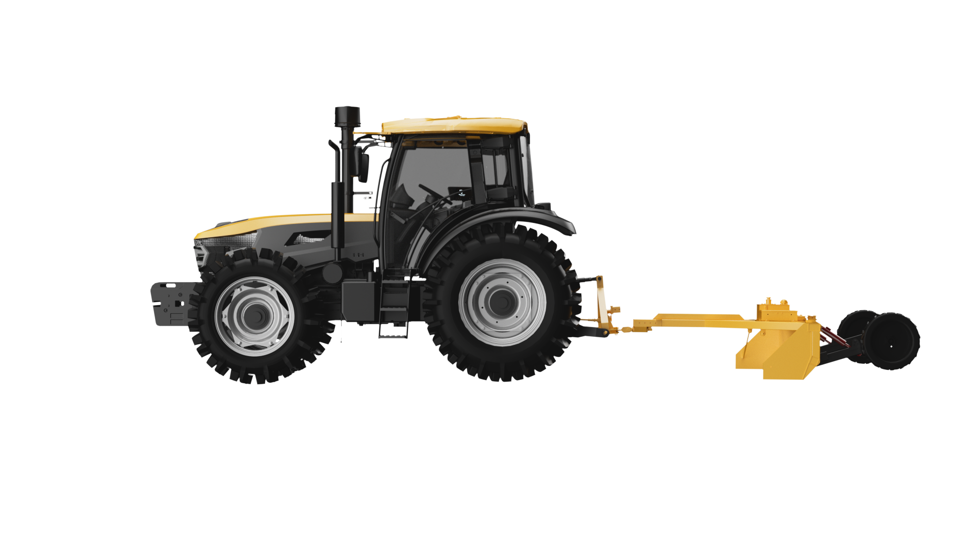
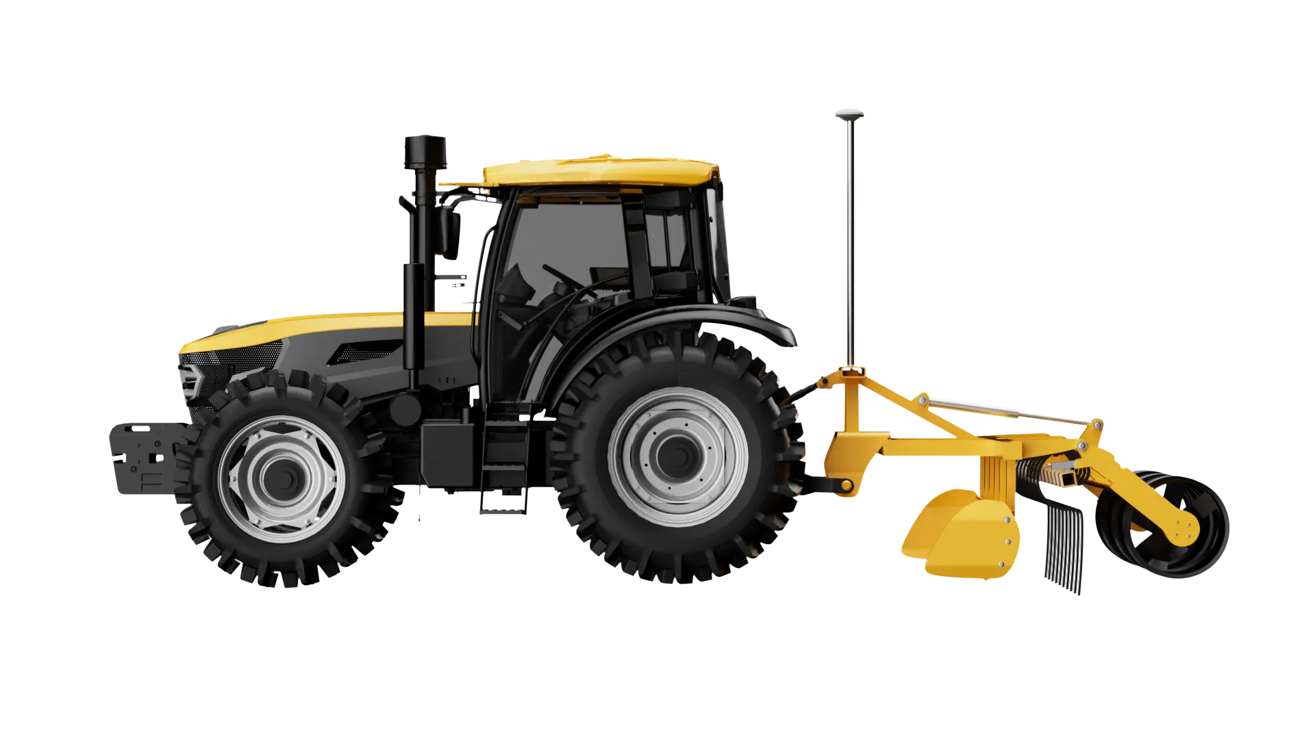
牽引式と直装式両方対応
ISOBUS-VCUが同梱されるため、日本主流なレーザー直装式のクボタ、ヤンマー、イセキの対応できます。
対応可能な海外製直装式レベラーのブランドと型番の詳細については、ご付近の販売代理店へお問い合わせください。
またブランドを問わず、牵引式のレベラーにも対応可能です。お客様の作業環境や用途に合わせた柔軟な運用が可能です。
-
牽引式
-
直装式
初心者にも従来のレーザーレベラー使用者にも優しい設計
多様な地形対応
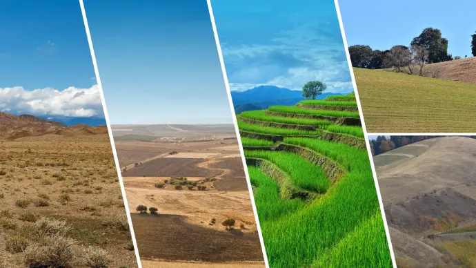
荒地の埋め立て、田畑の均平化、水田の整地化等にも適用します。
オプション
FJD V1 GNSS受信機は、全種類の衛星システムおよび周波数帯に対応できる軽量なGNSS RTK受信機です。強力な干渉の防止能力を持ち、厳しい環境でも迅速かつ正確な測位を提供できます。
FJD TRION V1 GNSS受信機
FJD V1 GNSS受信機は、全種類の衛星システムおよび周波数帯に対応できる軽量なGNSS RTK受信機です。強力な干渉の防止能力を持ち、厳しい環境でも迅速かつ正確な測位を提供できます。
Key Benefits
Satellite Positioning: Say Goodbye to Complicated Installations
Based on GNSS & RTK technology, the AL02 eliminates the complicated preparations required for traditional laser operations, while offering a broader range for precise leveling operations.

All-Round Compatibility
Support the import and export of surveying/design files, allowing you to use the most suitable equipment at any stage of the operation to assist in land leveling tasks.

Multi-Machine Collaboration
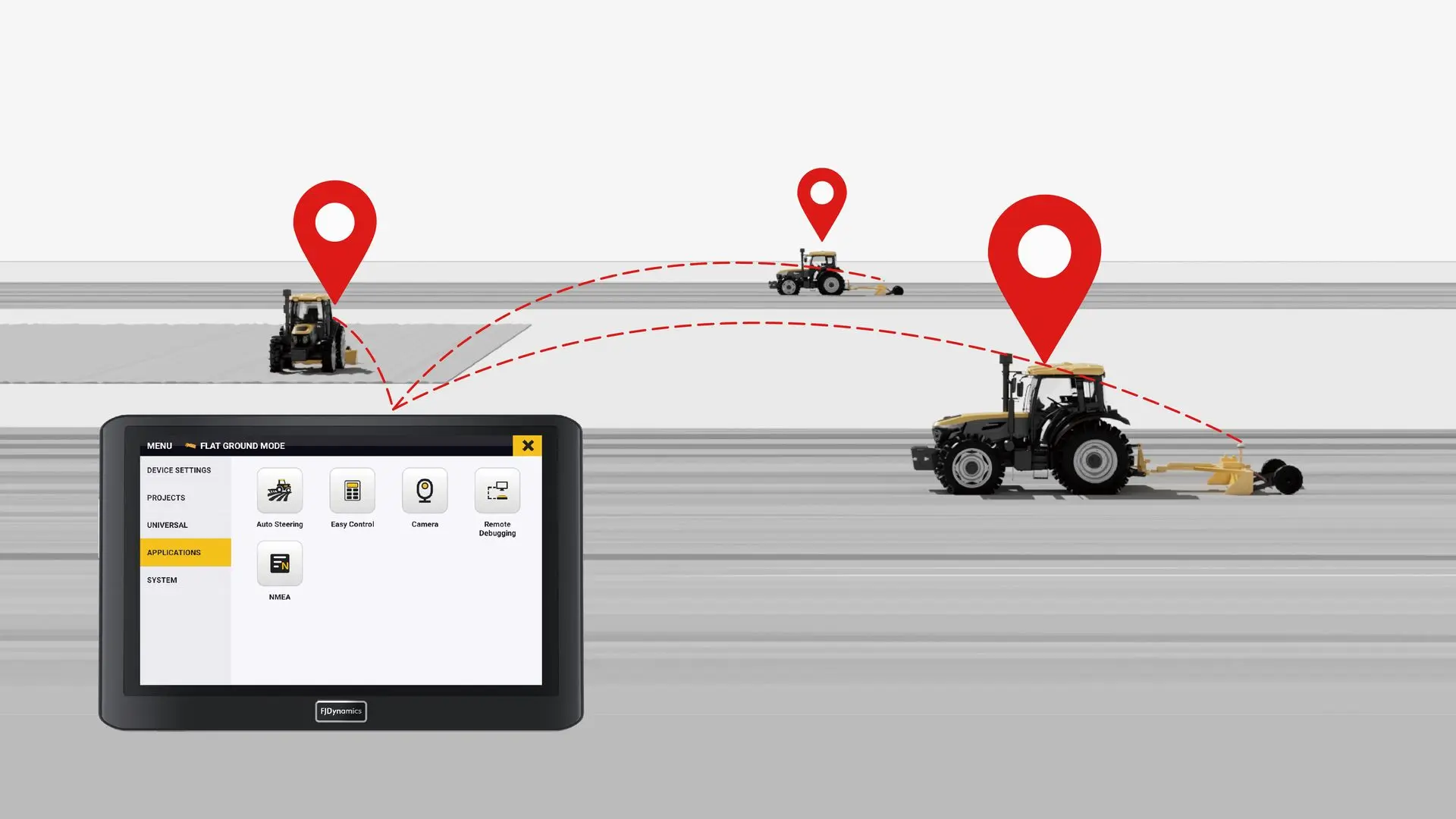
Allow many tractors equipped with the AL02 to work together by transferring project files among them, greatly enhancing machine collaboration efficiency.
Various Design Options
Offer advanced design options, including level ground, single-sloped surface, and double-sloped surfaces, allowing you to choose the most suitable land leveling plan based on the actual terrain.

Record Keeping
Save completed ground leveling projects automatically in the project management, allowing you to view the project history at any time. You can also generate project reports in PDF format for printing, helping you with further analysis and future review.

