FJD AL02
3D LAND LEVELING SYSTEM

GNSS-Based Leveling System
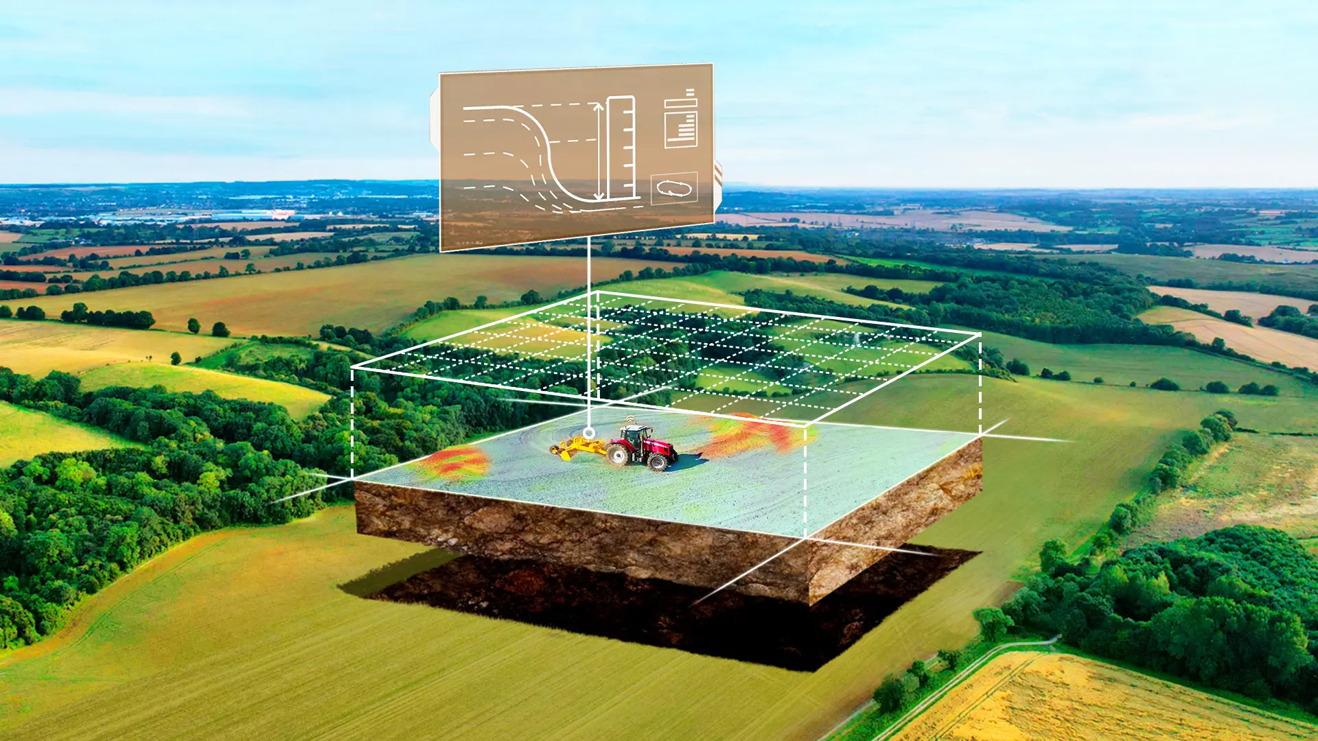
Terrain Digitalization
Terrain Survey&Design
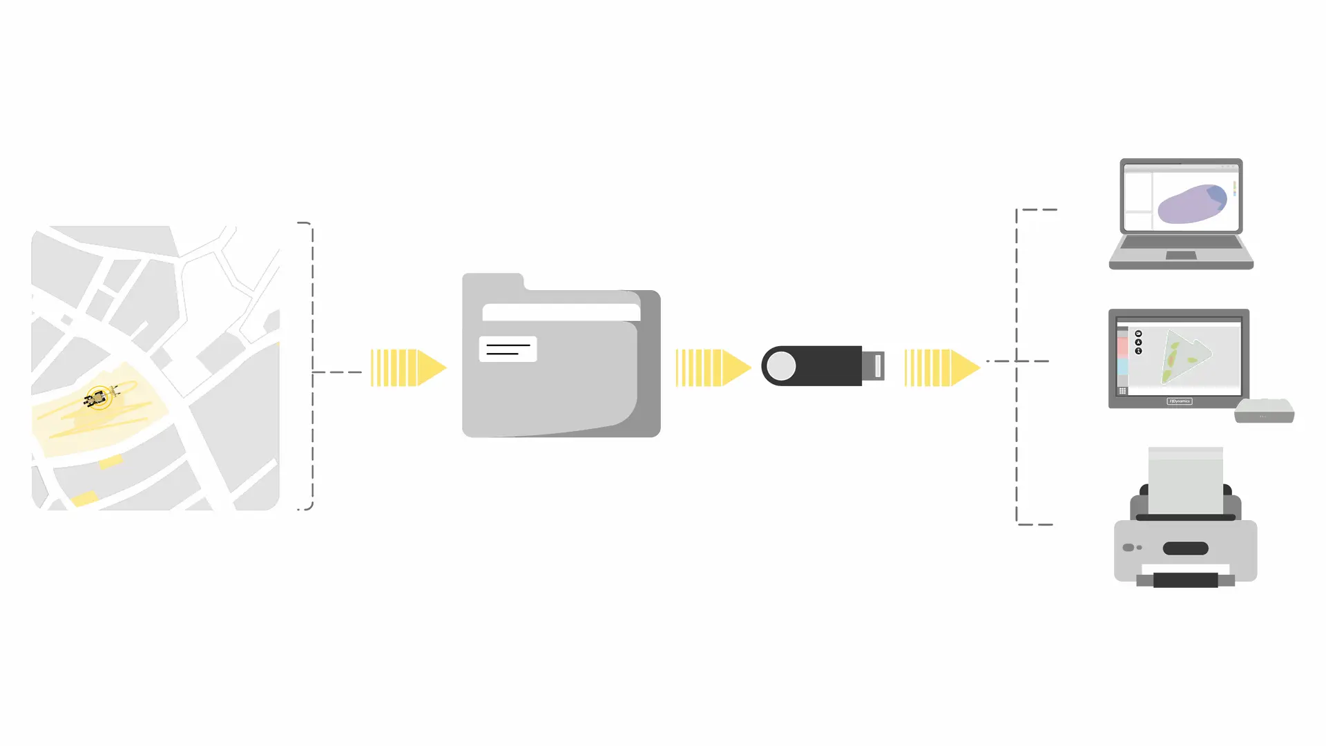
Terrain&Design File Transfer
Height Calibration
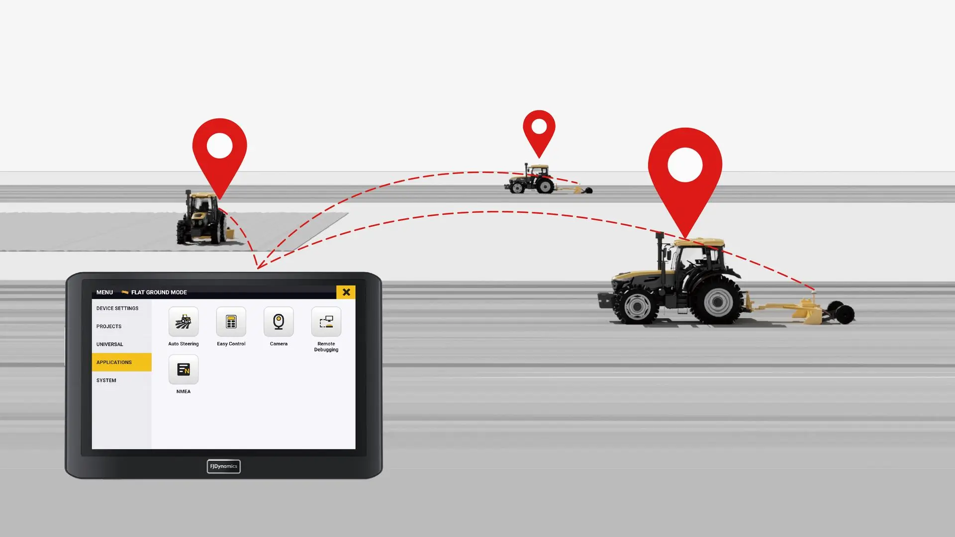
Multi-Tractor Coordination
Topographic Survey
Terrain Design
Terrain File Transfer
Record Keeping

Key Benefits

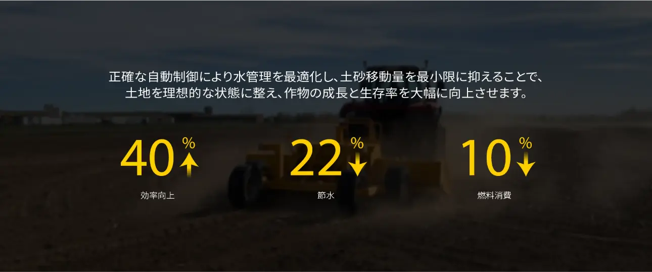
By managing water through precise system control and minimizing earthwork, the AL02 levels the land to its optimal condition, significantly improving crop growth and survival rates.

Digital Construction
vs.
Traditional Construction

45 %
Water Saving
10 %
Fuel Consumption
35 %
Labor Hours


Satellite Positioning, say goodbye to complicated installations

Based on AL02's GNSS & RTK technology, it eliminates the complicated preparations required for traditional laser operations, while offering a broader range for precise leveling operations.

All-Round Compatibility

The FJD AL02 supports the import and export of surveying/design files, allowing you to use the most suitable equipment at any stage of the operation to assist in land leveling tasks.

Multi-machine Collaboration

With project file import and export support, you can enable multiple tractors equipped with FJD AL02 to work simultaneously, greatly enhancing efficiency.

Rich Design Solutions

The AL02 offers advanced design options, including Level ground, Single sloped surface and double sloped surfaces, allowing you to choose the most suitable land leveling plan based on the actual terrain.

Record Retention

The completed ground-level projects will be automatically saved to your task list, allowing you to view the project history at any time. It also supports generating PDF project reports for export, which can be used for later review.

Level Every Inch, Save Every Drop

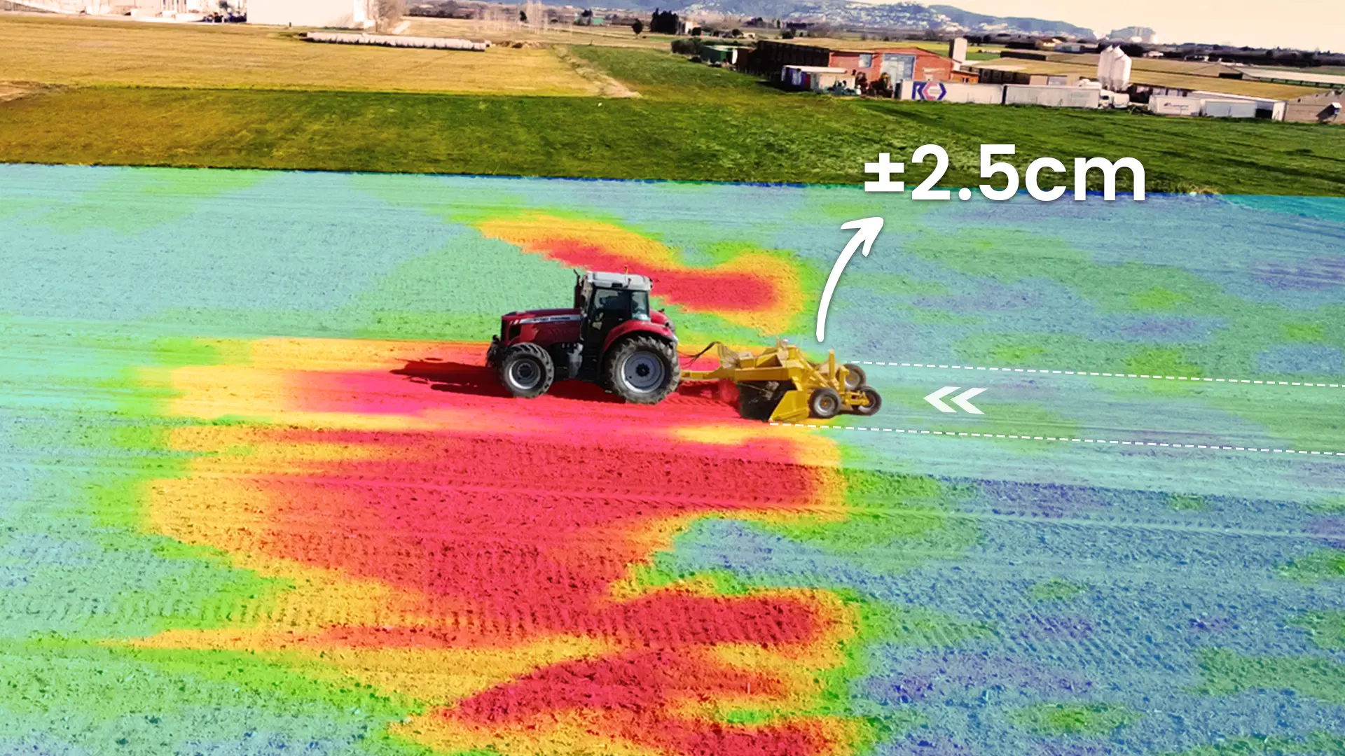
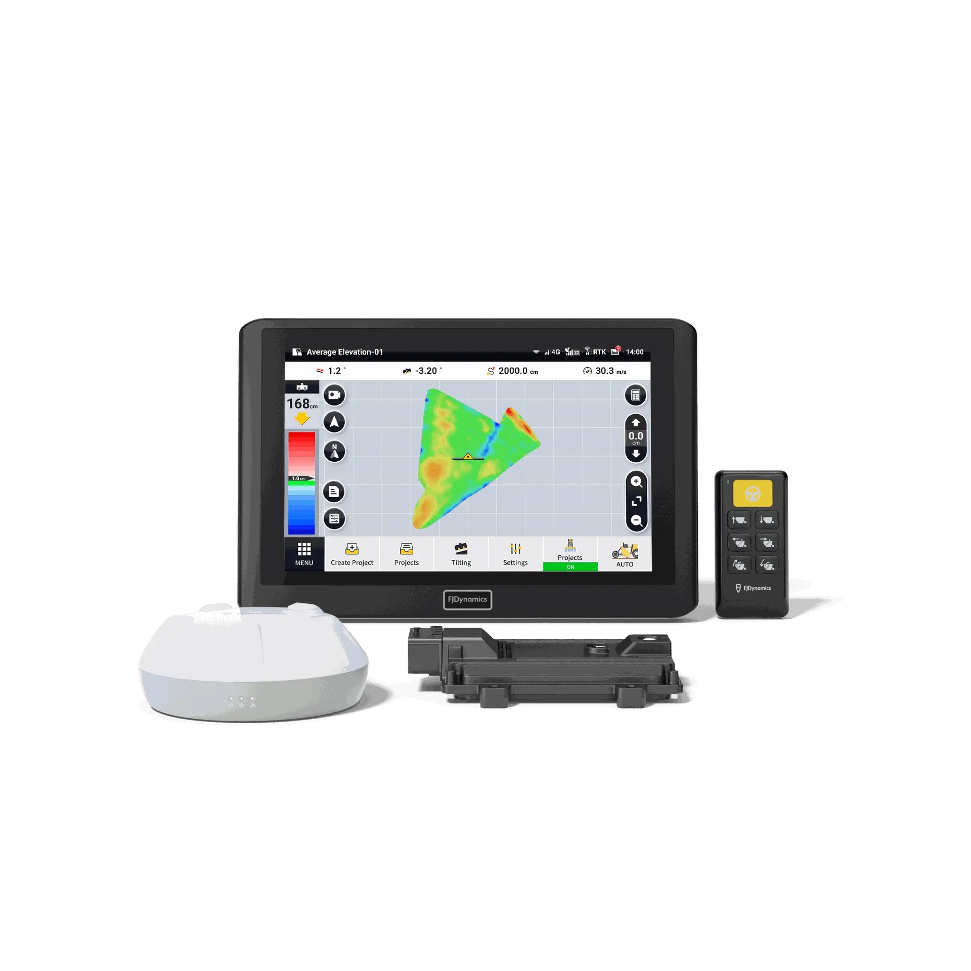
AL02 is FJDynamics' next-generation land leveling system, supporting terrain surveying and minimal earth-moving designs for level or sloped surfaces. With high-precision GNSS positioning and advanced algorithms, it enables automatic blade control, ensuring precise and stable leveling operations.

Multi-Terrain Compatibility

The AL02 system generates optimized surface designs with minimal earth movement using topographic data, ideal for paddy fields and dry land. Users can fine-tune target elevation, water flow, slope, and cut-fill ratio to boost irrigation efficiency and soil quality. Whether for level ground, single-surface, or double-surface terrain, the AL02 provides efficient, customized solutions for all types of land leveling and drainage management needs.


Flexible Surveying & Sharing


  • The AL02’s surveying functionality is designed for ease of use, supporting one-button elevation setup for leveling projects and precise surveying directly from the land leveler.


    Users can export project data for multi-machine collaboration, import third-party AGD design files to start leveling right away, and export PDF project reports for record-keeping and management.


  • Create field profiles to record boundaries, guidance lines, tasks, and more. So your farming becomes an organized effort.

  • Straight-line, curve, A+ line, and pivot modes are available for diverse field shapes and operation needs.

Integrated Design

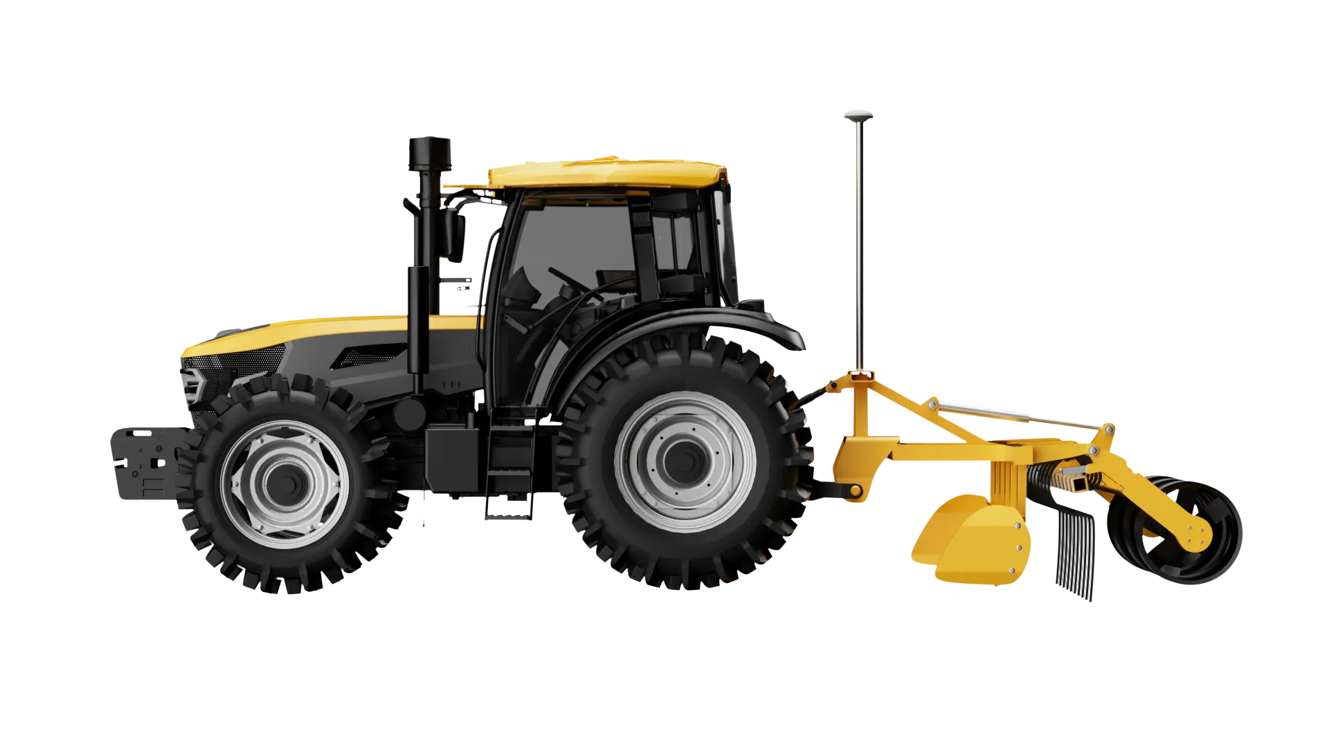
The latest version of GNSS antenna integrates the attitude sensor and positioning module, achieving both positioning and attitude functions in one for easier installation.
With advanced algorithmic compensation, the AL02 maintains exceptional operational accuracy in dynamic environments.
Note: The AT2 can unlock the land leveling function through an add-on package.

Remote Assistance

AL02 supports OTA (over-the-air) updates, allowing users to experience the latest product versions immediately. The device also enables remote assistance, so when issues arise, users can connect with dealers or the service team in real-time for quick diagnostics and remote guidance, ensuring prompt solutions and greater peace of mind.