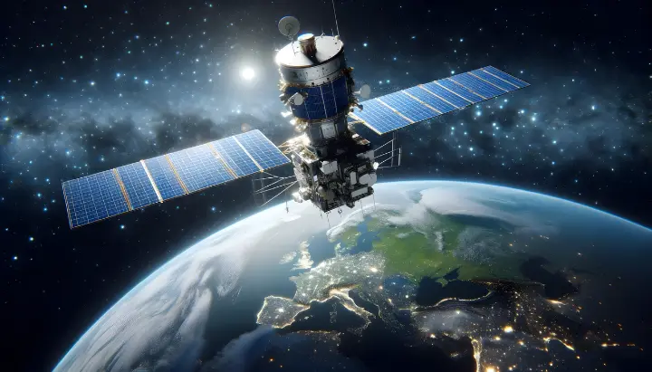
Understanding Global GPS Systems
Global GPS systems, or Global Positioning System (GPS) technology, have revolutionized navigation, mapping, and real-time tracking. Initially developed for military applications, GPS has now become an indispensable tool in agriculture, transportation, and various industries.What is Global Positioning System (GPS)?
The Global Positioning System (GPS) is a satellite-based navigation system that provides location and time information anywhere on Earth. It consists of a network of satellites maintained by the U.S. government and is used worldwide for navigation and geospatial data collection. Learn more about GPS from NASA.
Applications of Global GPS Systems
- Precision Agriculture – Farmers utilize GPS for auto-steering systems and field mapping, increasing efficiency and reducing resource waste. The FJD AT2 Auto Steer System and FJD AT2 Max Auto Steer System enhance agricultural operations by providing precise navigation and reducing overlap. USGS explains GPS use in agriculture.
- Autonomous Vehicles – Self-driving technology relies on GPS for accurate positioning. Explore GPS in autonomous systems at IEEE.
- Disaster Management – GPS helps in tracking natural disasters and guiding relief efforts. ESA discusses GPS in emergency response.
- Fleet Management – Companies optimize logistics and monitor vehicles in real-time using GPS-based tracking systems. Read about GPS in logistics from AGU.
- Surveying & Mapping – Engineers and geologists depend on GPS for accurate land assessments and mapping. Check GPS mapping applications at GIS Lounge.
The Role of FJDynamics in GPS Innovation
FJDynamics is at the forefront of GPS-powered solutions, offering precision auto-steering systems and smart farming technologies. The FJD AT2 Auto Steer System and FJD AT2 Max Auto Steer System provide farmers with high-precision GNSS technology, ensuring accurate field navigation and optimized operations. These solutions enhance efficiency, reduce input costs, and support sustainable farming practices.
Real-World Agricultural Applications
Case Study: Precision Farming Transformation
A mid-sized grain farm implemented the FJD AT2 Auto Steer System to improve operational efficiency. Previously, manual driving led to inconsistent seeding and fertilizer application, wasting resources. After adopting GPS-guided auto-steering , the farm reduced fuel consumption by 15% and increased yield consistency. With accurate row spacing and minimized overlap, their productivity improved significantly while lowering costs.Industry Trends and Global Impact
Across the agricultural sector, global positioning system GPS technology is redefining efficiency.According to a study by the Food and Agriculture Organization (FAO), precision agriculture technologies, including GPS-based guidance, can increase crop yields by up to 20% while reducing input costs by 10-15%.
The adoption of auto-steering systems has also contributed to a global reduction in fuel use and carbon emissions, supporting sustainable farming practices.
With the integration of AI and big data analytics, GPS applications in agriculture are expected to expand further, allowing farmers to make data-driven decisions in real-time, optimize soil health, and improve overall productivity.

Future of Global GPS Systems
The evolution of global positioning system GPS technology continues, with innovations such as enhanced satellite constellations, improved accuracy, and AI-driven navigation systems. Experts predict that the future of GPS will integrate 5G connectivity and machine learning algorithms, further expanding its applications across industries.For more insights on the latest developments, visit the National Coordination Office for Space-Based PNT and stay updated on GPS advancements.
Frequently Asked Questions (FAQ)
1. How does GPS work?GPS operates using a network of satellites that transmit signals to receivers on Earth. By calculating the time it takes for signals to travel, a GPS device determines its precise location.
2. What are the benefits of using GPS in agriculture?
GPS enhances farming efficiency through auto-steering, precise planting, and optimized input usage. Systems like the FJD AT2 Auto Steer System and FJD AT2 Max Auto Steer System improve accuracy and reduce costs.

3. Can GPS be used without an internet connection?
Yes, GPS works independently of the internet as it relies on satellite signals. However, internet connectivity enhances mapping and real-time updates.
4. What is the difference between GPS and GNSS?
GPS is a U.S.-operated system, while GNSS (Global Navigation Satellite System) encompasses multiple systems, including GPS, GLONASS, Galileo, and BeiDou.
5. How accurate is GPS for precision agriculture?
With high-precision solutions like the FJD AT2 Auto Steer System, accuracy can reach centimeter-level precision, significantly improving farming efficiency.