• Home
  • Products
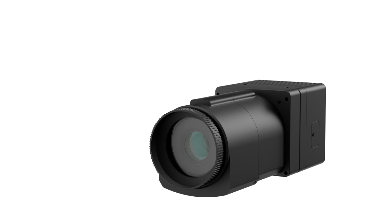
  • FJD Trion AM150A Medium Format Aerial Camera

FJD Trion AM150A
Medium Format Aerial Camera

aerial camera, uav camera, drone camera, aerial photography, 3d mapping, aerial inspection, oblique imagery, aerial photogrammetry
150MP Resolution
150MP
Resolution
BSI CMOS Sensor
BSI CMOS
Sensor
Leaf Shutter
Leaf
Shutter
Up to 1/2500s Shutter Speed
Up to 1/2500s
Shutter Speed
Up to 4 fps Capture Rate
Up to 4fps
Capture Rate
2 USB 3.0 Type-C Data Interfaces
2USB 3.0Type-C
Data Interfaces
Oblique Imagery & LiDAR Supoorted
Oblique Imagery &
LiDAR Supported
Wide Aerial Coverage
Wide Aerial
Coverage

A More Efficient Way to Photograph the World

Boost productivity in aerial image acquisition with the FJD Trion AM150A. Featuring a backside-illuminated CMOS sensor for reduced noise and enhanced performance in low-light conditions, the AM150A captures imagery at up to 4fps and 150MP. Capture more in fewer, faster flights and take your aerial mapping missions to new heights.
 

Powerful CMOS and Interchangeable Lenses
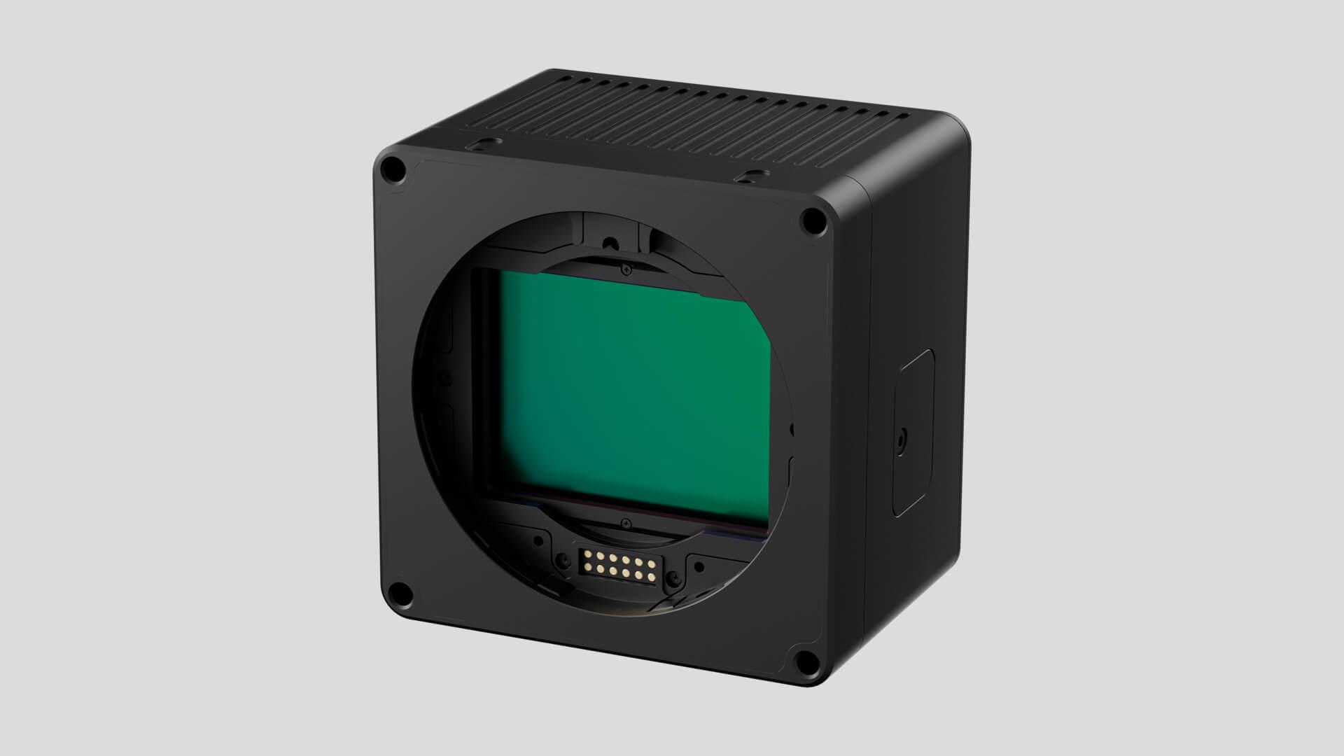
54.4 × 40.0 mm Sensor Size 83 dB Dynamic Range 3.76 μm Pixel Size

Back-illuminated Sensor

54.4 × 40.0mm Sensor Size
83dB Dynamic Range
3.76μm Pixel Size
 

Compatible Lenses

Low Chromatic Aberration
No Distortion
Up to 1/2500s Leaf Shutter
500,000 Actuations Capacity
50mm or 90mm Lenses

Wide Aerial Coverage with Oblique Imagery

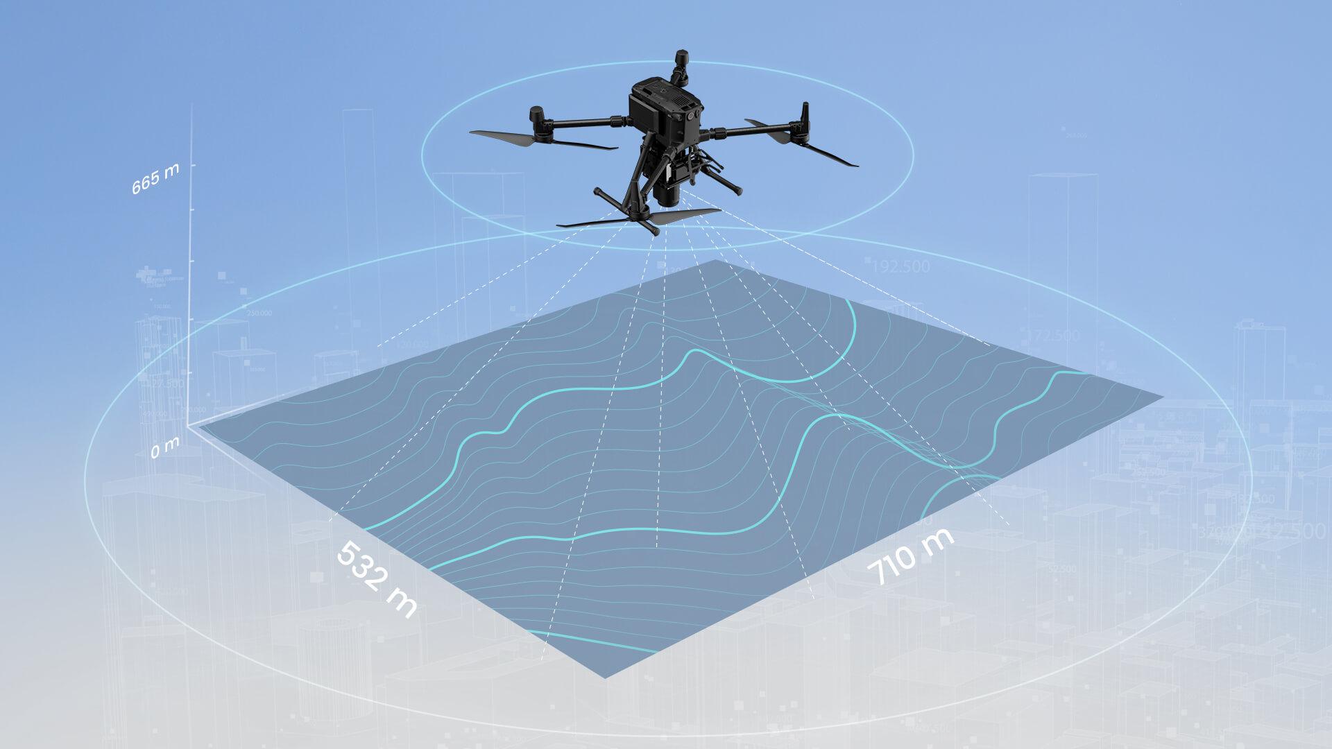
Cover more area with a shorter flight. The AM150A covers 217km²/h, with a width of 710m at 5cm GSD and a flight height of 665m.
Wide Aerial Coverage with Oblique Imagery
217km²/h @ 5cm GSD & 80% forward overlap using 50mm lens
Multiple Configurations

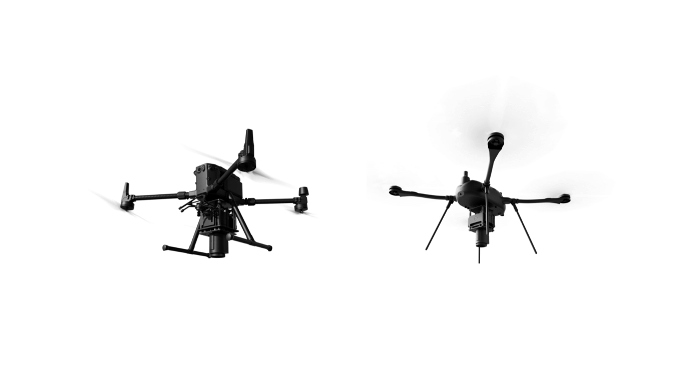
FJD Trion AM150A can be mounted on large and small drones for ultra-high definition shooting.
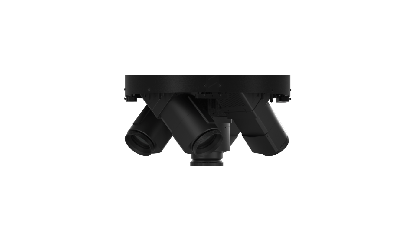
FJD Trion AM150A can be equipped with a variety of lenses to combine lens groups for ultra-high definition shooting.
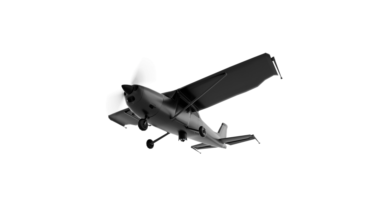
The FJD Trion AM150A can be mounted on small aircraft for high-speed ultra-high-definition shooting.
Drone-mounted
Camera Array
Plane

Application Scenarios

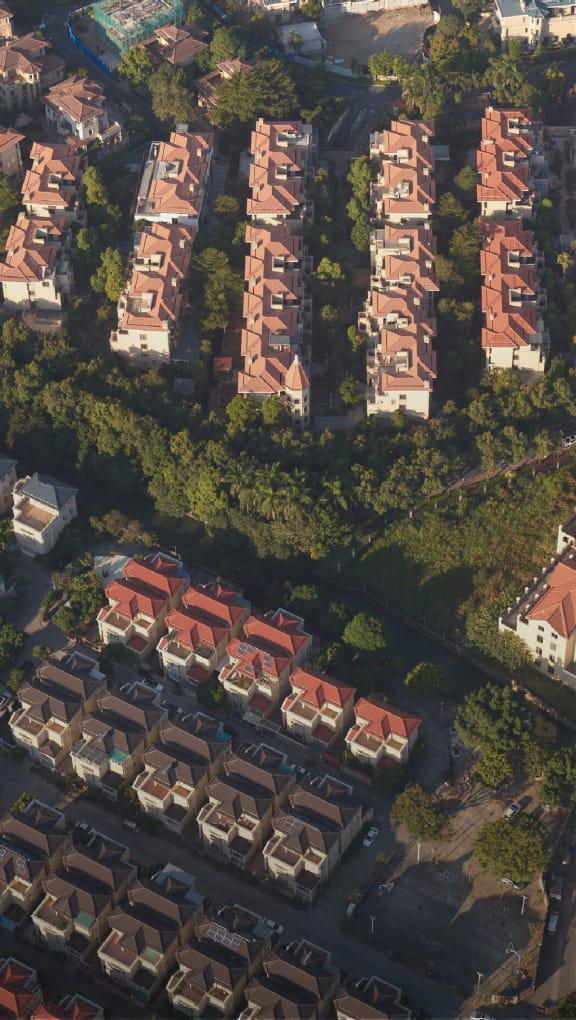
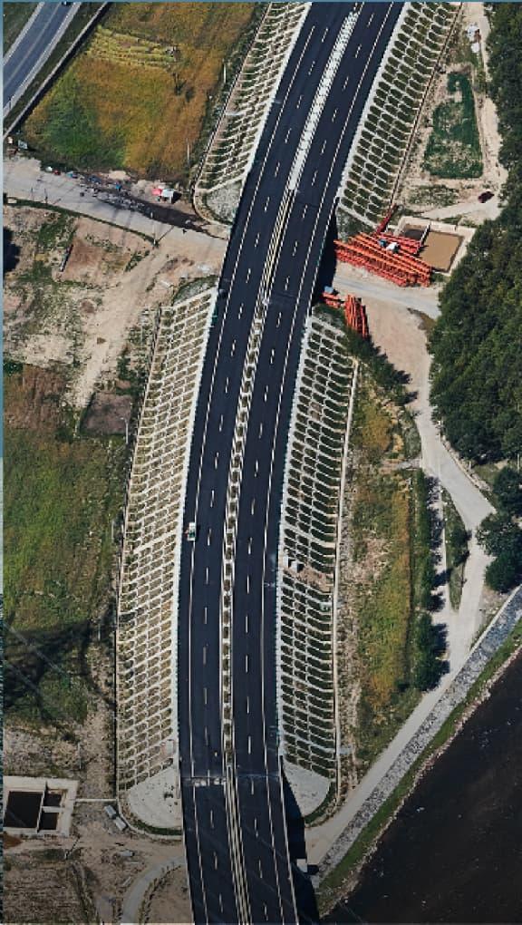
Quickly map the environment such as rivers, cities and roads and create accurate 2D and 3D models to facilitate maintenance and inspection.
Urban Planning
Capture the city and create precise 2D and 3D models to visualize designs for city modelling, urban-rural classification, and land surveying.
Infrastructure Mapping
Monitor structural integrity, optimize planning, and identify potential issues of infrasturctures such as bridges, buildings, and power lines in a swift and safe way.
Aerial Inspection
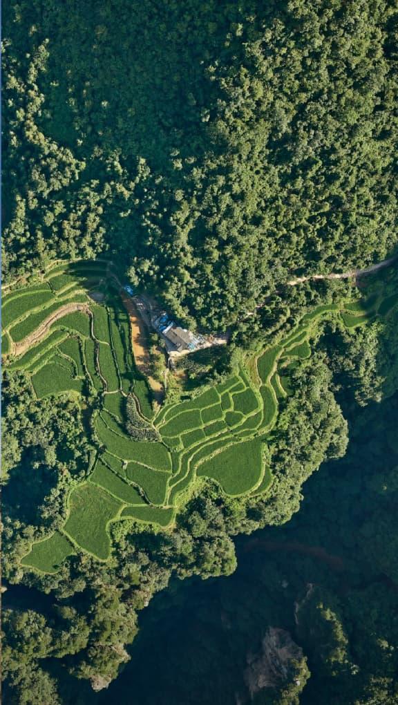
Manage and monitor tree inventory with few quick flights in the forest. Analyze forestry parameters like crowns, breast diameter and tree height using precise photogrametry data.
Forestry

Easy Post-Processing with FJD Image

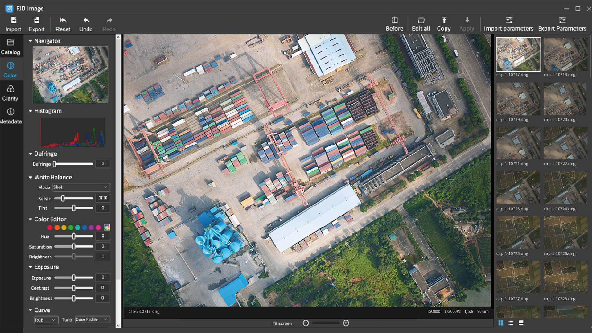
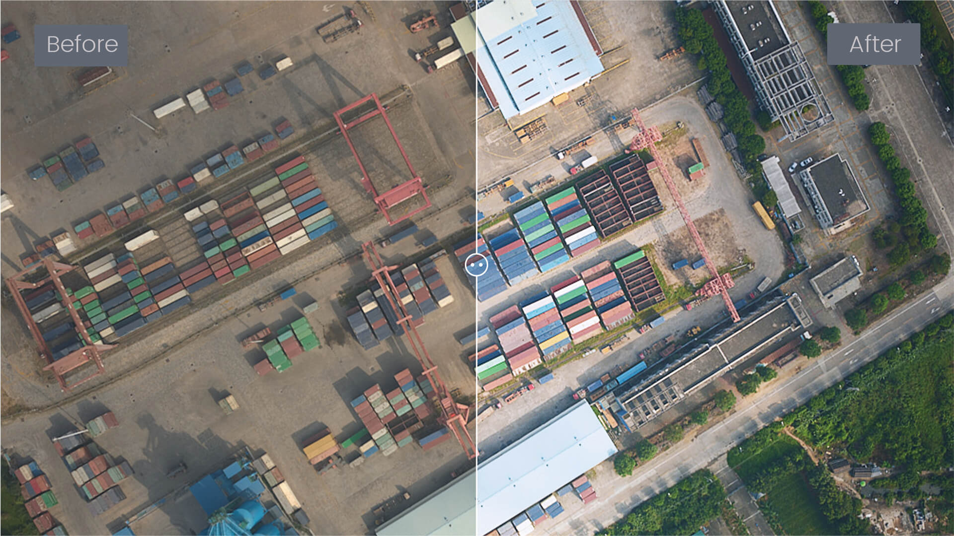
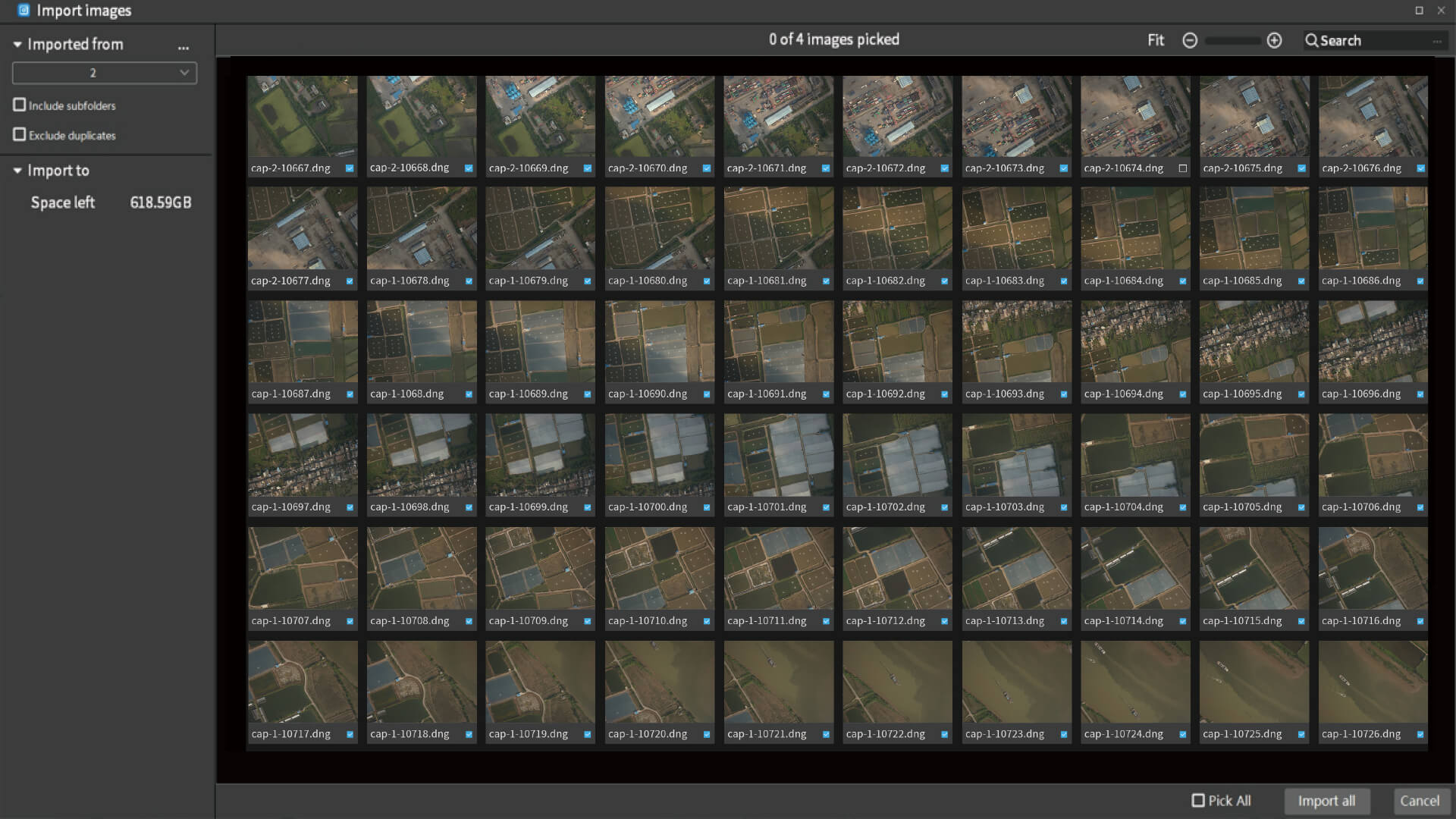
Streamline and simplify your photo editing workflow with FJD Image. Edit photos, manage files, and get the results you need quickly. Color correct, edit in bulk, and compare before and after effects with one quick click. With advanced algorithms, these edits can be displayed in real time.
Finetune hue and tone to get just the right results for your project. With advanced algorithms, these edits can be displayed in real time.
Compare the effects of your edits side-by-side. Undo or reset if you change your mind.
Apply edits to all images in just one click. Export all edited images in one go to maximize consistency and efficiency.
  • Image Editing
  • One-click Comparison
  • Bulk Editing
Finetune hue and tone to get just the right results for your project.

Need More Information?