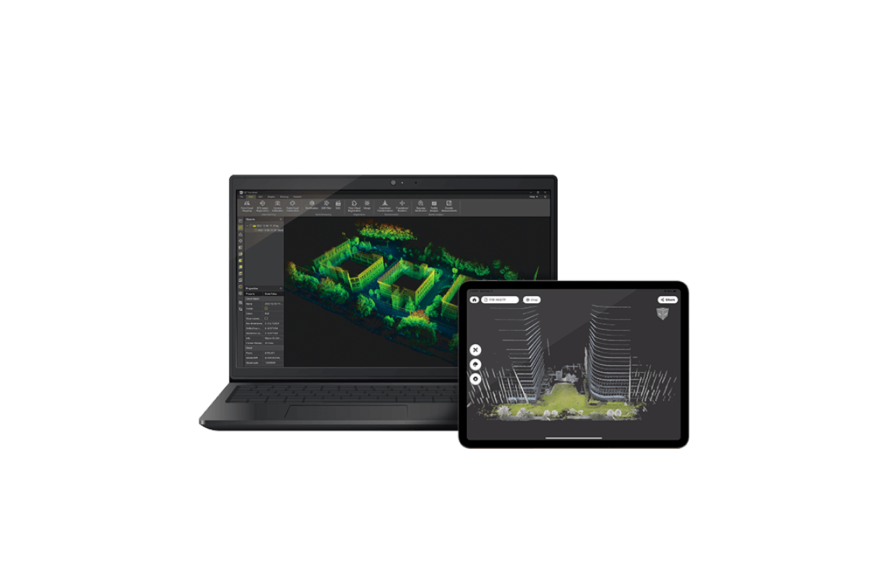
Precision Meets Simplicity from Field to Office
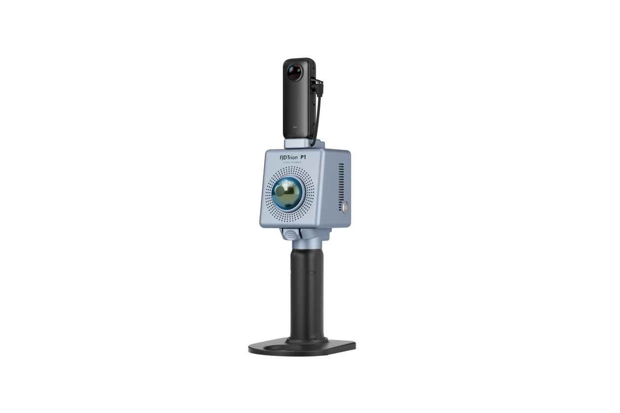
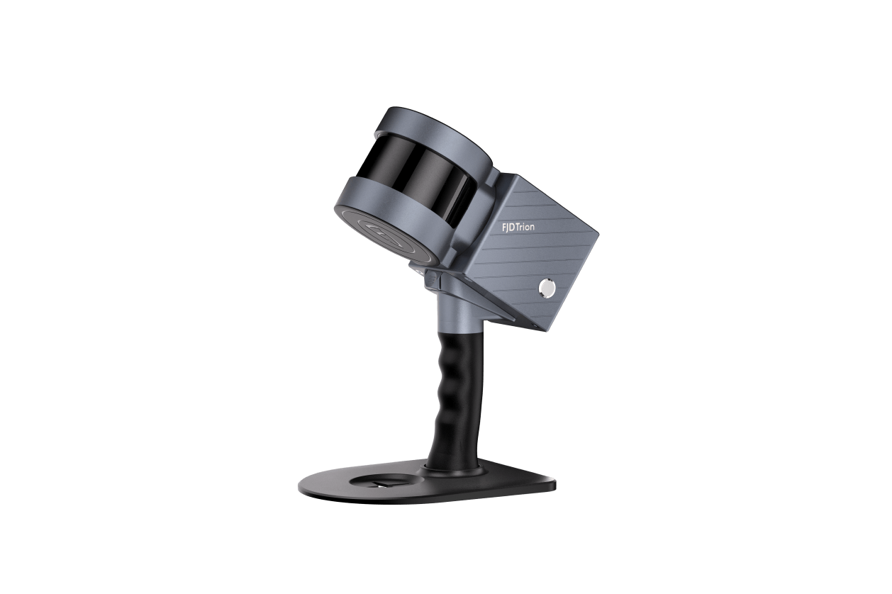
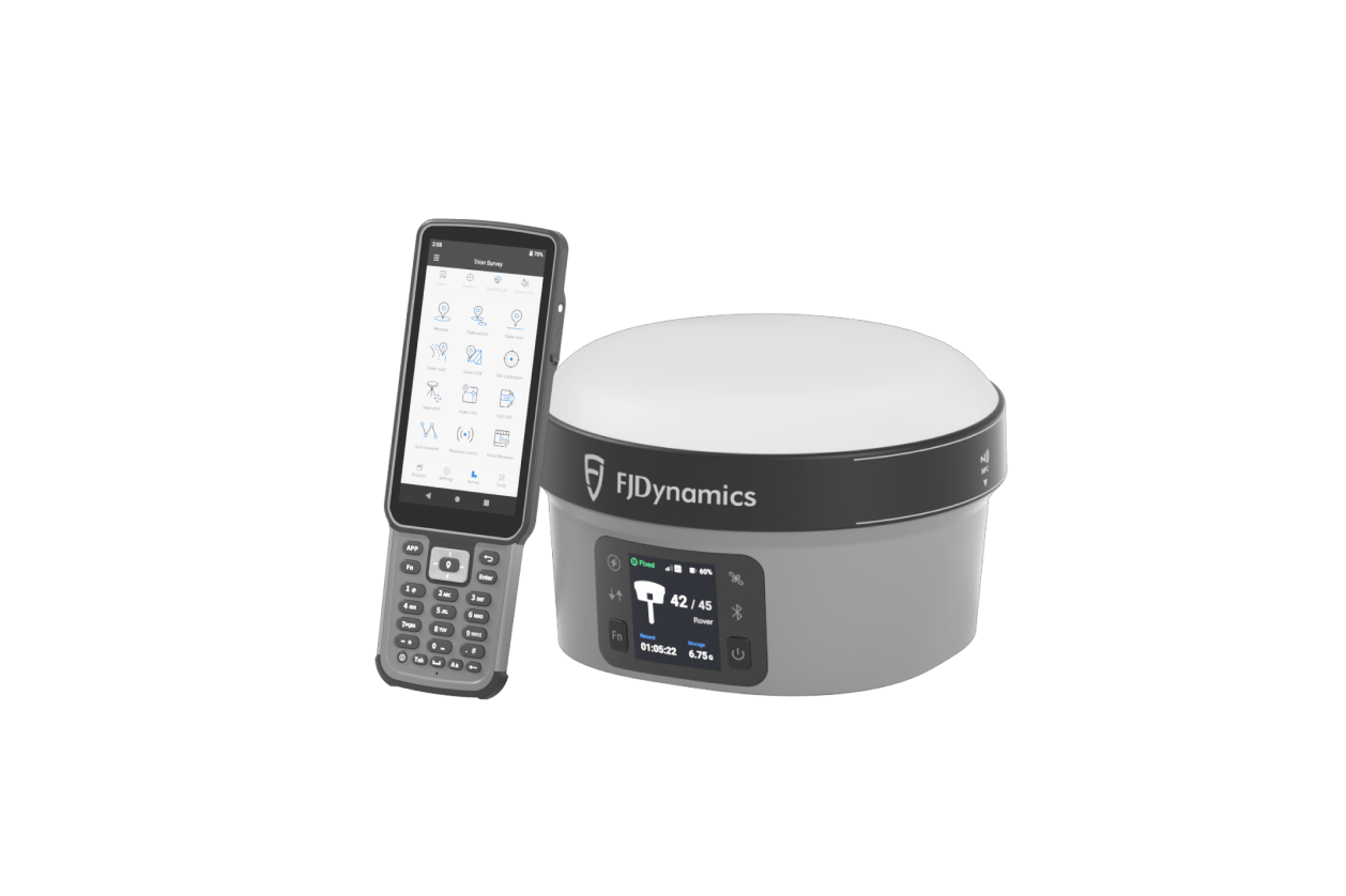
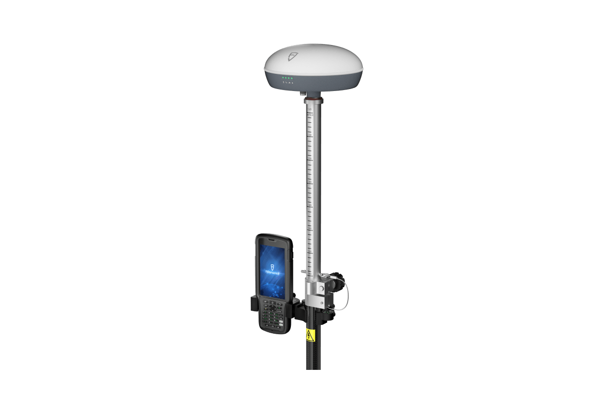
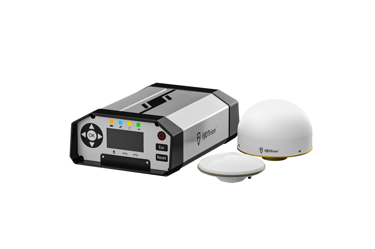
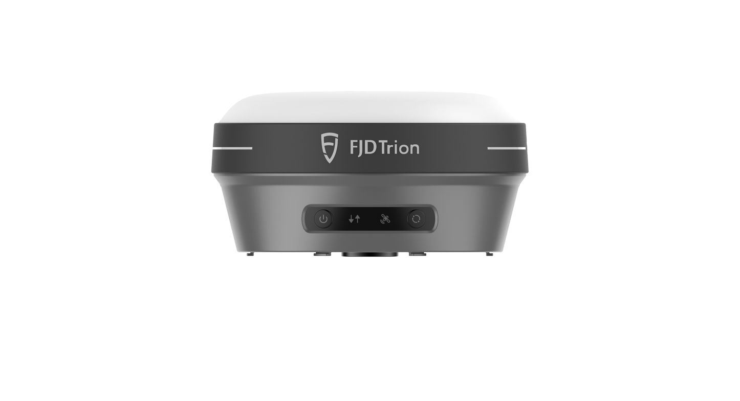
From geodetic surveys, BIM projects, to heritage preservation and urban planning, FJDynamics Geospatial solutions make it easier for you to capture, process, and manage data.
Workflow Overview
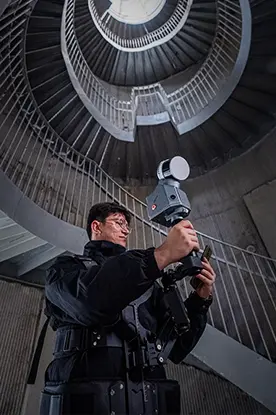
Enhanced operational efficiency for 3D scanning specialists, architects, surveyors, and institutions utilizing aerial mapping.
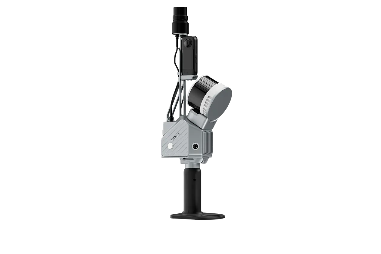
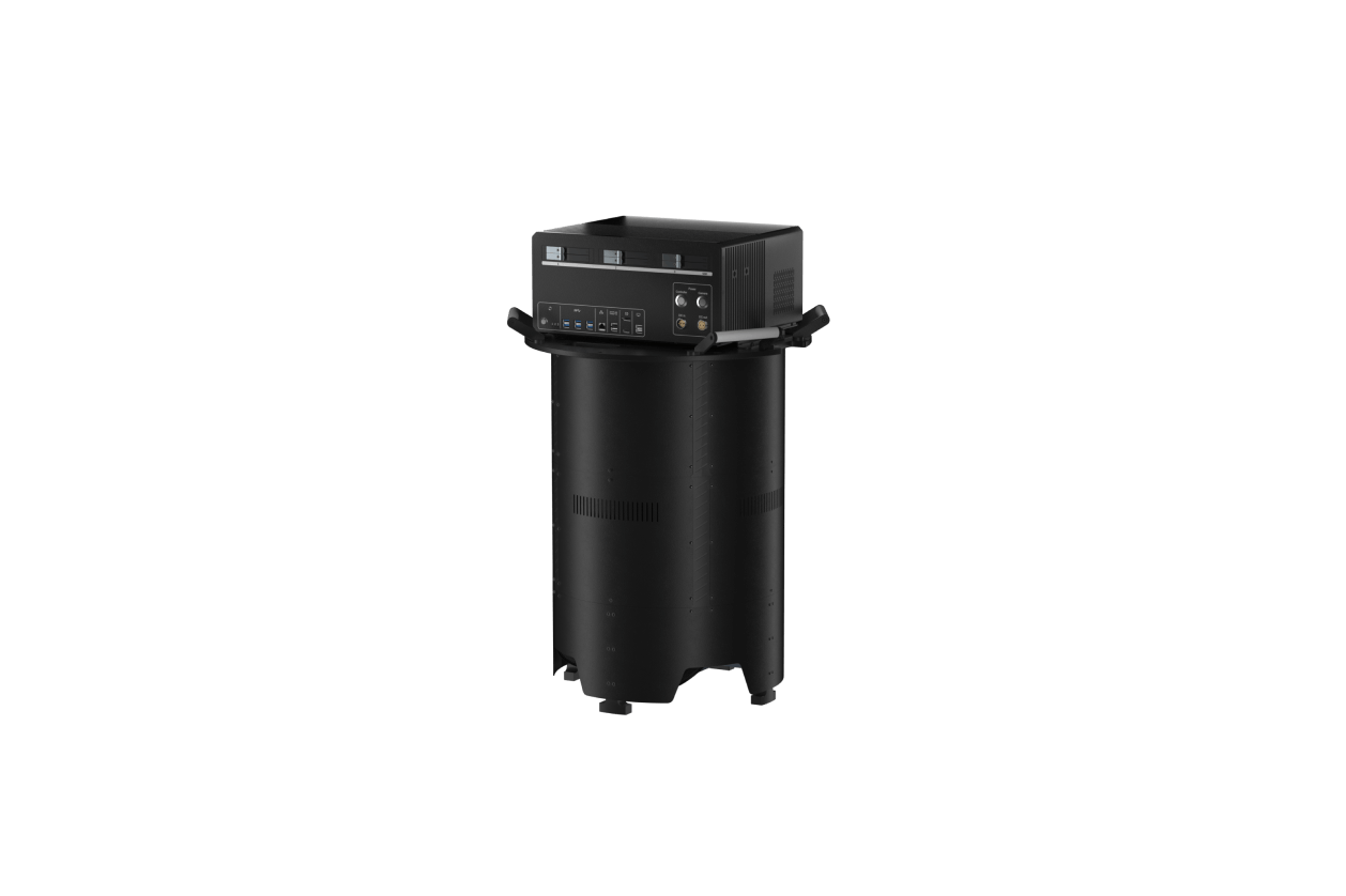
- Laser Scanning
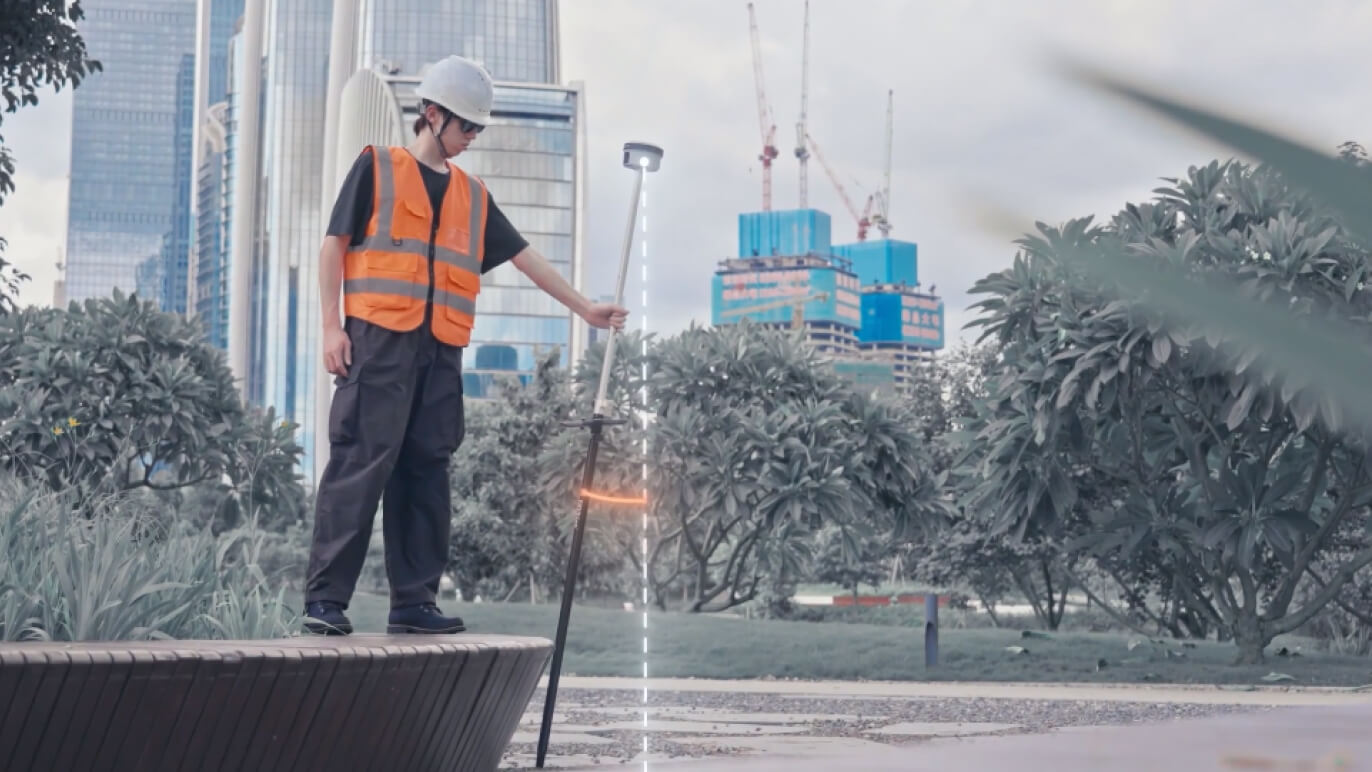
- GNSS Receiver
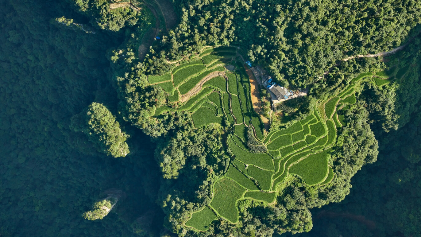
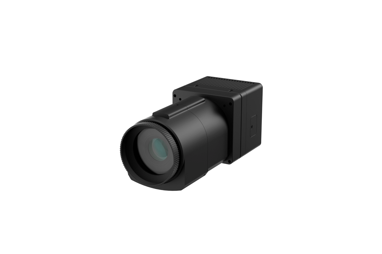
- Aerial Mapping
- Real-time Display and Post Processing
News
Your Dynamic Snippet will be displayed here... This message is displayed because you did not provided both a filter and a template to use.
Contact Us


